Forecasters at the Met Office have identified when the Arctic cold snap will end - but heavy rain will replace the weather.
The UK has endured sub-zero temperatures this week, with a low of -11.2°C at Braemar in Aberdeenshire recorded on Tuesday as snow finally arrived across the country. Some 12cm of snow fell at Watnall, Nottinghamshire and more is expected on Wednesday, as far south as Suffolk and Carmarthenshire.
But forecasters understand the Arctic airmass will finally subside on Saturday, and temperatures will rise again. However, it means the large swathes of the UK will instead experience downpours, the heaviest of which are feared across north Wales, Merseyside, Greater Manchester and parts of West Yorkshire.
Sunday's outlook looks just as bleak with South West of England expected to face fierce downpours. Temperatures, though, should reach 16C in the East of England on Sunday, a significant jump from today's freezing conditions.
Mike Silverstone, deputy chief meteorologist at the Met Office, said: "A deep area of low pressure looks likely to influence the UK’s weather this weekend. While this will bring in milder air to most parts, it also brings with it some heavy rain and strong winds at times. It’s too early for precise detail, but there’s a potential for further warnings."
The southerly winds will be at their strongest on Saturday afternoon along the south coast of England, from Hampshire in the west to East Sussex. Gusts could exceed 40mph, forecasters at Ventusky believe.
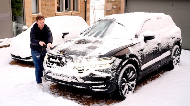
Tuesday's deluge of snow led to chaos on roads and the cancellations of train services, including several on Northern Rail. More than 200 schools were forced to close across the country too.
Ice will become a hazard in the coming days as a result of the snowfall. Weather warnings remain in place across the UK for snow and ice, and include alerts for Greater London, the Home Counties and parts of the Midlands.
The Met Office's website reads: "Rain, sleet and snow will continue to clear southwards across England and Wales with clearing skies to follow. Temperatures are expected to fall below or close to freezing quite widely across the warning area with icy patches forming on untreated freezing surfaces."
